
Datoteca:Karte Zürichsee.png
Grondezza da questa prevista: 720 × 599 pixels. Other resoluziuns: 288 × 240 pixels | 577 × 480 pixels | 923 × 768 pixels | 1.181 × 983 pixels.
Datoteca originala (1.181 × 983 pixels, grondezza da datoteca: 232 KB, tip da MIME: image/png)
| Questa datoteca e las suandantas infurmaziuns provegnan dal deposit multimedia liber Wikimedia Commons. |
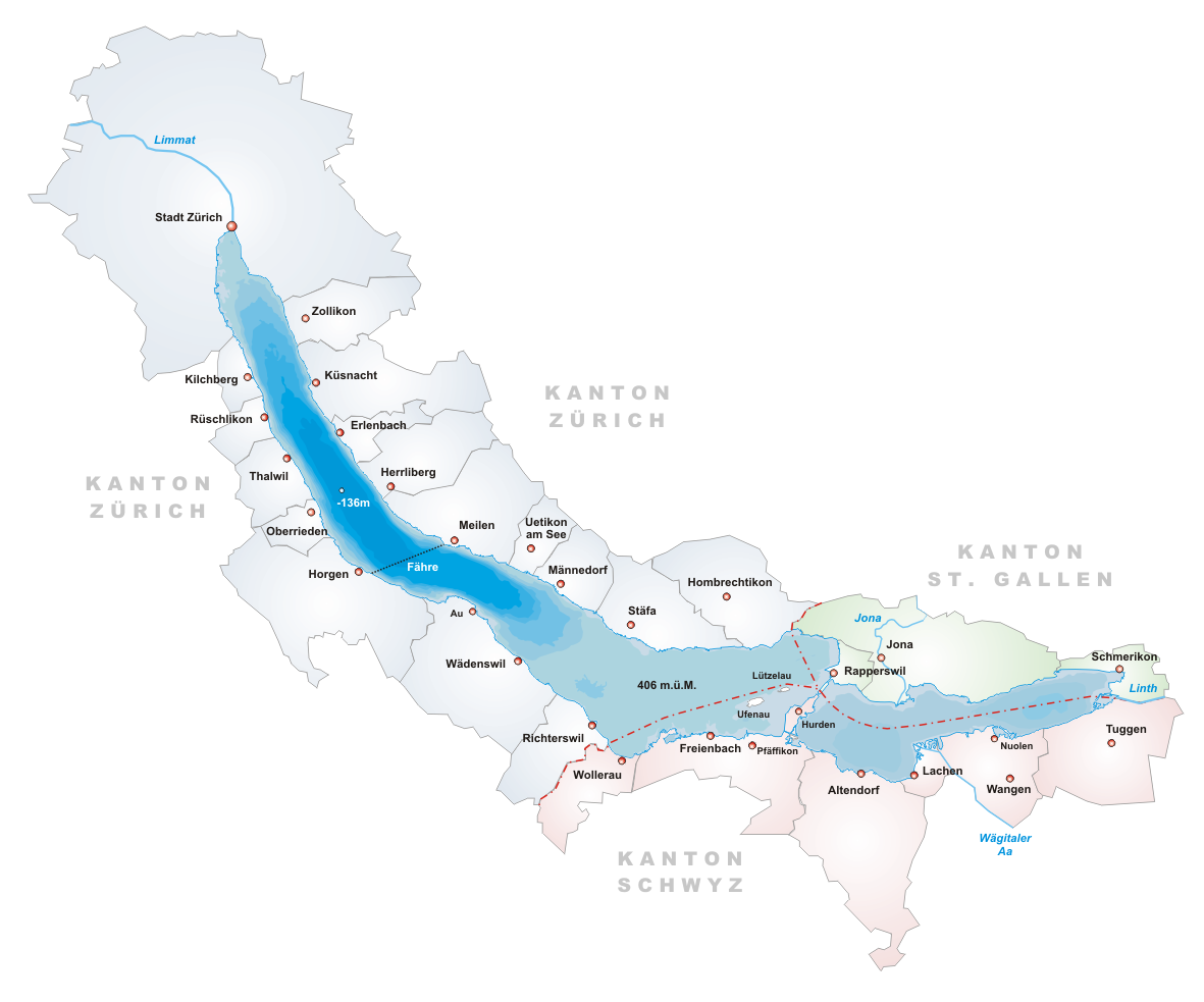
- Description: Map of Zürichsee, Switzerland
- Designer: Tschubby
- Licence:

|
Es ist erlaubt, die Datei unter den Bedingungen der GNU-Lizenz für freie Dokumentation, Version 1.2 oder einer späteren Version, veröffentlicht von der Free Software Foundation, zu kopieren, zu verbreiten und/oder zu modifizieren; es gibt keine unveränderlichen Abschnitte, keinen vorderen und keinen hinteren Umschlagtext.
Der vollständige Text der Lizenz ist im Kapitel GNU-Lizenz für freie Dokumentation verfügbar. |
| Diese Datei ist unter der Creative-Commons-Lizenz „Namensnennung – Weitergabe unter gleichen Bedingungen 3.0 nicht portiert“ lizenziert. | ||
| ||
| Diese Lizenzmarkierung wurde auf Grund der GFDL-Lizenzaktualisierung hinzugefügt. |
Istorgia da las versiuns
Clicca sin ina data/temps per vesair la versiun da lura.
| data/temp | Maletg da prevista | dimensiuns | Utilisader | commentari | |
|---|---|---|---|---|---|
| actual | 20:14, 22. zercl 2005 | | 1.181 × 983 (232 KB) | Tschubby | *Description: Map of Zürichsee, Switzerland *Designer: Tschubby *Licence: {{GFDL}} Category:Maps of Swiss lakes |
Utilisaziun da la datoteca
La suandanta pagina è colliada cun questa datoteca:
Diever da datoteca global
Die nachfolgenden anderen Wikis verwenden diese Datei:
- Utilisaziun sin ar.wikipedia.org
- Utilisaziun sin arz.wikipedia.org
- Utilisaziun sin ast.wikipedia.org
- Utilisaziun sin be.wikipedia.org
- Utilisaziun sin bs.wikipedia.org
- Utilisaziun sin ca.wikipedia.org
- Utilisaziun sin ceb.wikipedia.org
- Utilisaziun sin cs.wikipedia.org
- Utilisaziun sin de.wikipedia.org
- Utilisaziun sin en.wikipedia.org
- Lake Zurich
- Canton of Schwyz
- Limmat
- Linth
- Canton of Zürich
- Erlenbach, Switzerland
- Rapperswil-Jona
- Männedorf
- Meilen
- Canton of St. Gallen
- Schmerikon
- Uerikon
- Kehlhof
- Stäfa
- Uetikon am See
- Herrliberg
- Küsnacht
- Feldbach, Switzerland
- Lachen, Switzerland
- Horgen
- Thalwil
- Zürcher Verkehrsverbund
- S7 (ZVV)
- Kilchberg, Zürich
- Pfäffikon, Schwyz
- Albis
- Uetliberg
- Sihl
- Rüschlikon
- March District
- Zürichberg
- Horgen District
- Oberrieden
- Freienbach
- Altendorf, Schwyz
- Höfe District
- See-Gaster
- Richterswil
Weitere globale Verwendungen dieser Datei anschauen.